

Quick answer
The Knuckles mountain range hiking map identifies 21 marked trails across five primary ridges, with elevations ranging from 900 to 1,906 metres at Knuckles Peak. Key routes include the Mini World's End loop (3.5 hours, 600-metre gain), Nitro Cave traverse (5 hours), and the Corbett's Gap to Knuckles Peak summit trail (7 hours, 1,100-metre gain). All trailheads require Conservation Forest permits, issued at Deanston, Riverston, and Meemure ranger posts.
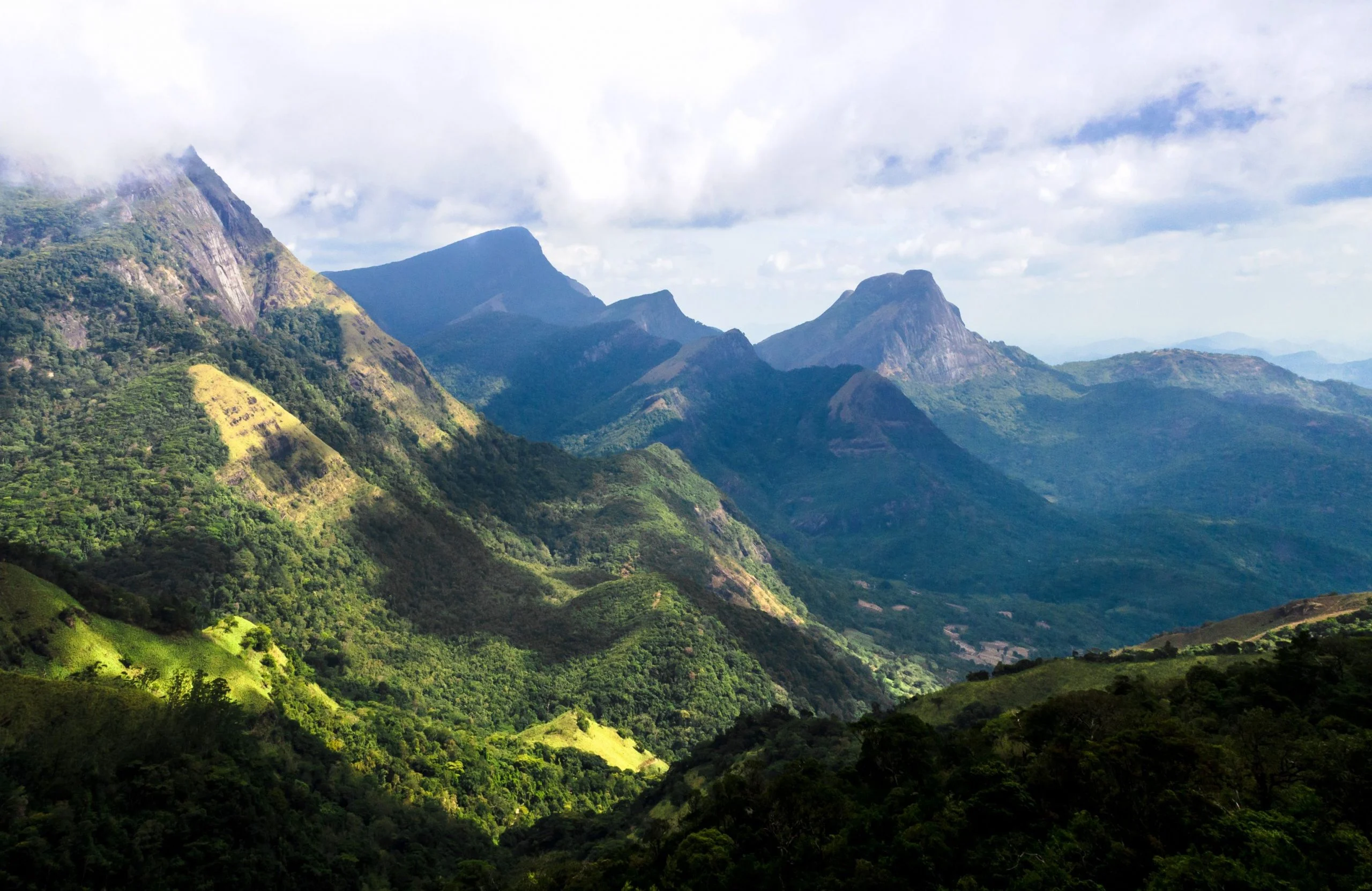
The Knuckles range is named for five peaks that resemble the back of a clenched fist when viewed from the Matale Valley. These ridges form a natural watershed boundary between the Mahaweli and Kalu river systems, creating a network of valleys, escarpments, and narrow passes that define the trail system. A knuckles mountain range hiking map divides the terrain into three zones. The northern sector—accessed from Riverston and Illukkumbura—covers grassland ridges and the Mini World's End plateau. The central zone, reached via Corbett's Gap and Deanston, contains the highest peaks and the most technical ascents. The southern valleys near Meemure and Thangappuwa include river crossings, tea plantation trails, and lower-elevation forest paths suitable for humid-season trekking. Most junctions lack signage; GPS coordinates and printed topographic sheets remain the standard for navigation beyond the three most-trafficked loops. Elevation gain determines difficulty more than distance. The Knuckles Peak summit trail climbs 1,100 metres over six kilometres, with exposed ridgeline sections where afternoon cloud cover reduces visibility to under 20 metres. The Ash Cave and Sera Ella Falls routes follow river gradients and lose elevation through dense canopy, while the Dothalugala ridge maintains a steady 1,200-metre altitude for most of its length. Trails intersect at named passes—Corbett's Gap, Thangappuwa Ela junction, and the Bambarella crossroads—where multiple routes converge and where most trekkers cache water before summit attempts. The Conservation Forest designates seven trails as guided-only routes, marked on official maps with a double-line border. These include the Knuckles Peak ascent, Nitro Cave traverse, and any path crossing into the core buffer zone surrounding Gombaniya and Hunas Falls. Permits specify which trails are approved for independent trekking; rangers verify route selection at checkpoint stations before issuing the daily conservation fee receipt.
“The five ridges form a natural watershed boundary, creating valleys and passes that define the entire trail network.”
Official Opening Hours for the Knuckles Mountain Range Hiking Map Trails
The Knuckles Conservation Forest is open daily to facilitate hiking and exploration across the designated trail network. Visitors should plan their excursions to align with these consistent operational hours.
| Monday | 07:00–17:30 | |
|---|---|---|
| Tuesday | 07:00–17:30 | |
| Wednesday | 07:00–17:30 | |
| Thursday | 07:00–17:30 | |
| Friday | 07:00–17:30 | |
| Saturday | 07:00–17:30 | |
| Sunday | 07:00–17:30 |
Understanding Entrance Fees on the Knuckles Mountain Range Hiking Map
Access to the Knuckles Conservation Forest requires a conservation permit. Costs are standardized per person, though the final amount depends on the specific trail selected.
A typical adult pays 2,500 LKR for the standard conservation permit, with total costs subject to change based on the specific trail chosen.
Essential Gear and Preparation for Your Knuckles Mountain Range Hiking Map
Prepare these essentials before heading into the Knuckles Conservation Forest to ensure a safe and successful trek.
-
Obtain conservation permit in advance — Required for legal access; fee is 2,500 LKR per person and varies by trail
-
Carry a detailed topographic hiking map — Mobile signal is unreliable in the mountains; physical navigation is essential
-
Wear ankle-high waterproof hiking boots — Trails are steep, muddy, and leech-infested, especially during monsoon months
-
Pack leech socks and insect repellent — Leeches are prevalent in wet conditions and can attach through regular clothing
-
Bring sufficient water and high-energy snacks — No facilities exist on most trails; dehydration risk increases with altitude
-
Download offline maps and charge devices fully — GPS apps lose connectivity; battery drains faster in remote terrain
-
Hire a licensed local guide — Trail markers are sparse and route-finding is challenging without local knowledge
Check availability
Common Questions About Knuckles Mountain Range Hiking Maps
Everything you need to know about knuckles mountain range hiking map